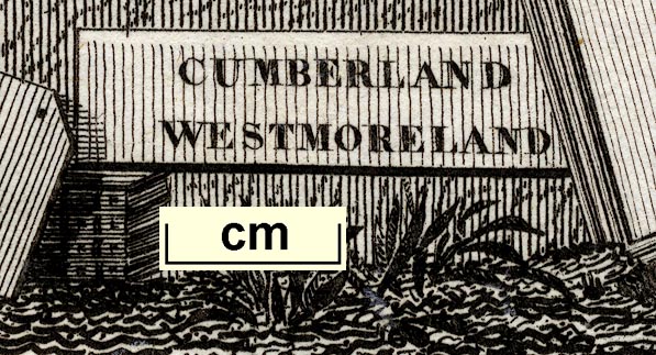
Map, Cumberland, Westmoreland, scale about 38 miles to 1 inch, by Aristide Michel Perrot, engraved by Migneret, 1823, published by Etienne Ledoux, 9 Rue Guenegaud, Paris, France, 1824; published 1824-48. (Perrot 1823)
Lakes Guides menu.
 Lakes Guides menu.