item:- private collection : 19.C7
image:- © see bottom of page
 PC007.jpg
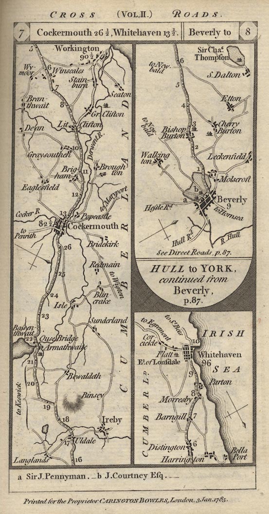
Strip map, part of Newcastle to Carlisle and Whitehaven, and the
start of Hull to York, scale about 3 miles to 1 inch, by Captain
Daniel Paterson, published by Carington Bowles, 69 St Paul's
Churchyard, London, 1785.
 Lakes Guides menu.