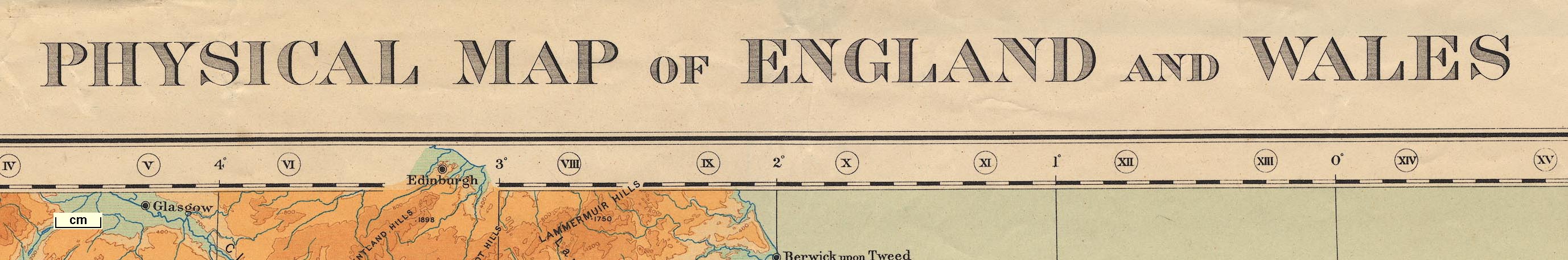
Map, Physical map of England and Wales, scale about 16 miles to 1 inch, published by the Ordnance Survey, Southampton, Hampshire, 1922. (OS 1922 relief)
Lakes Guides menu.
 Lakes Guides menu.