item:- Hampshire Museums : CRH1960.94.9
image:- © see bottom of page
 OSV2Cm.jpg
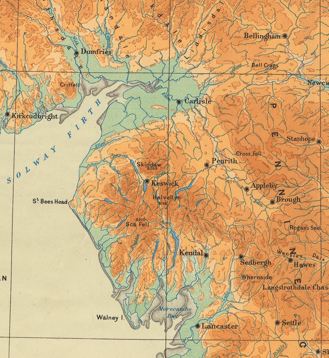
Map, physical map of England and Wales, scale about 16 miles to
1 inch, vertical interval 200ft, published by the Ordnance
Survey, Southampton, Hampshire, 1922.
 Lakes Guides menu.