item:- JandMN : 103
image:- © see bottom of page
 OS24Cm.jpg
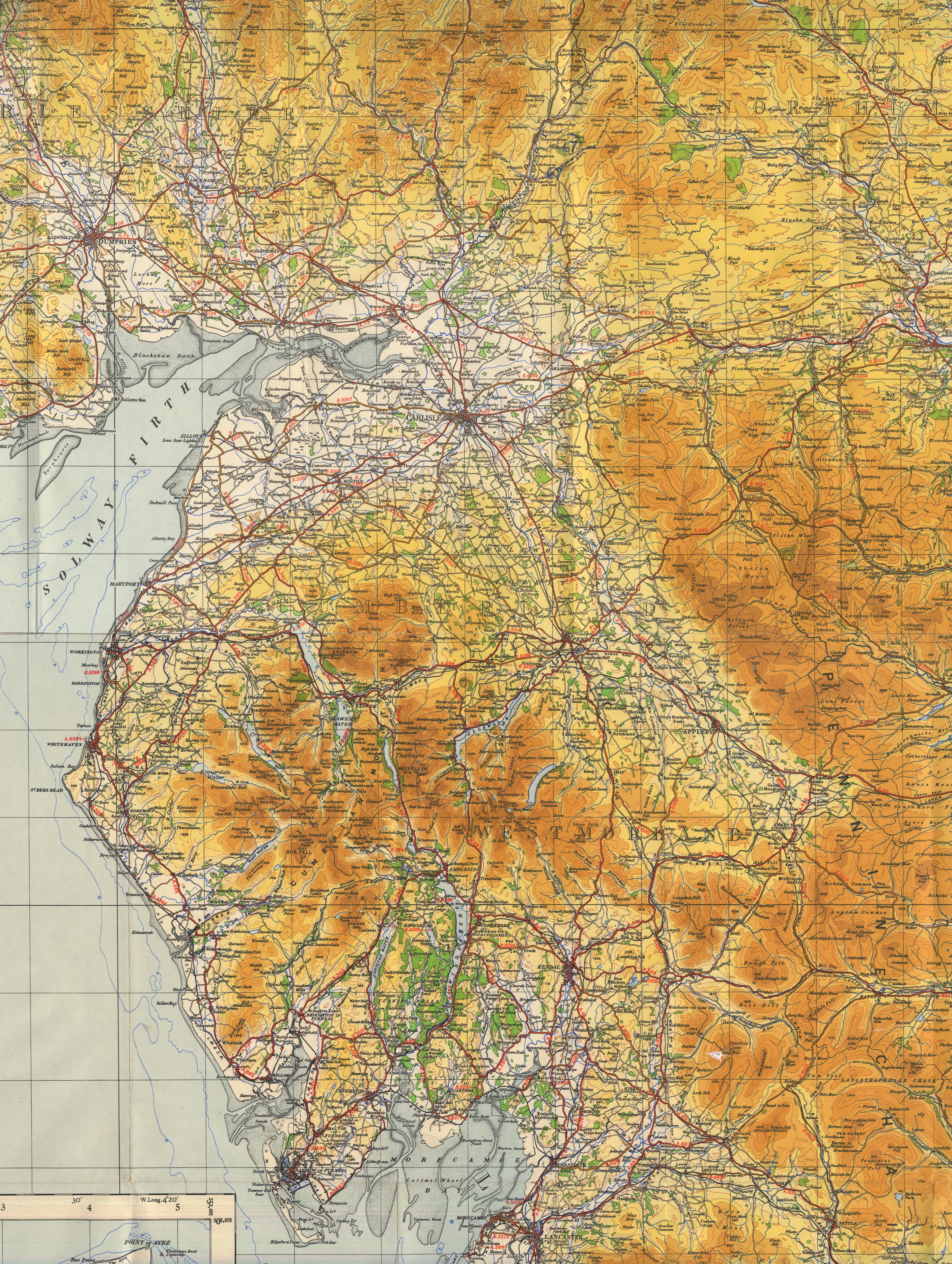
Maps, sheet 1, The Border, and sheet 2, England, North Central,
in the Quarter Inch Map of Great Britain series, 4th edn with
National Grid in yards, scale 4 miles to 1 inch, published by
the Ordnance Survey, Southampton, Hampshire, 1946.
 Lakes Guides menu.