item:- JandMN : 198
image:- © see bottom of page
 OS1805.jpg
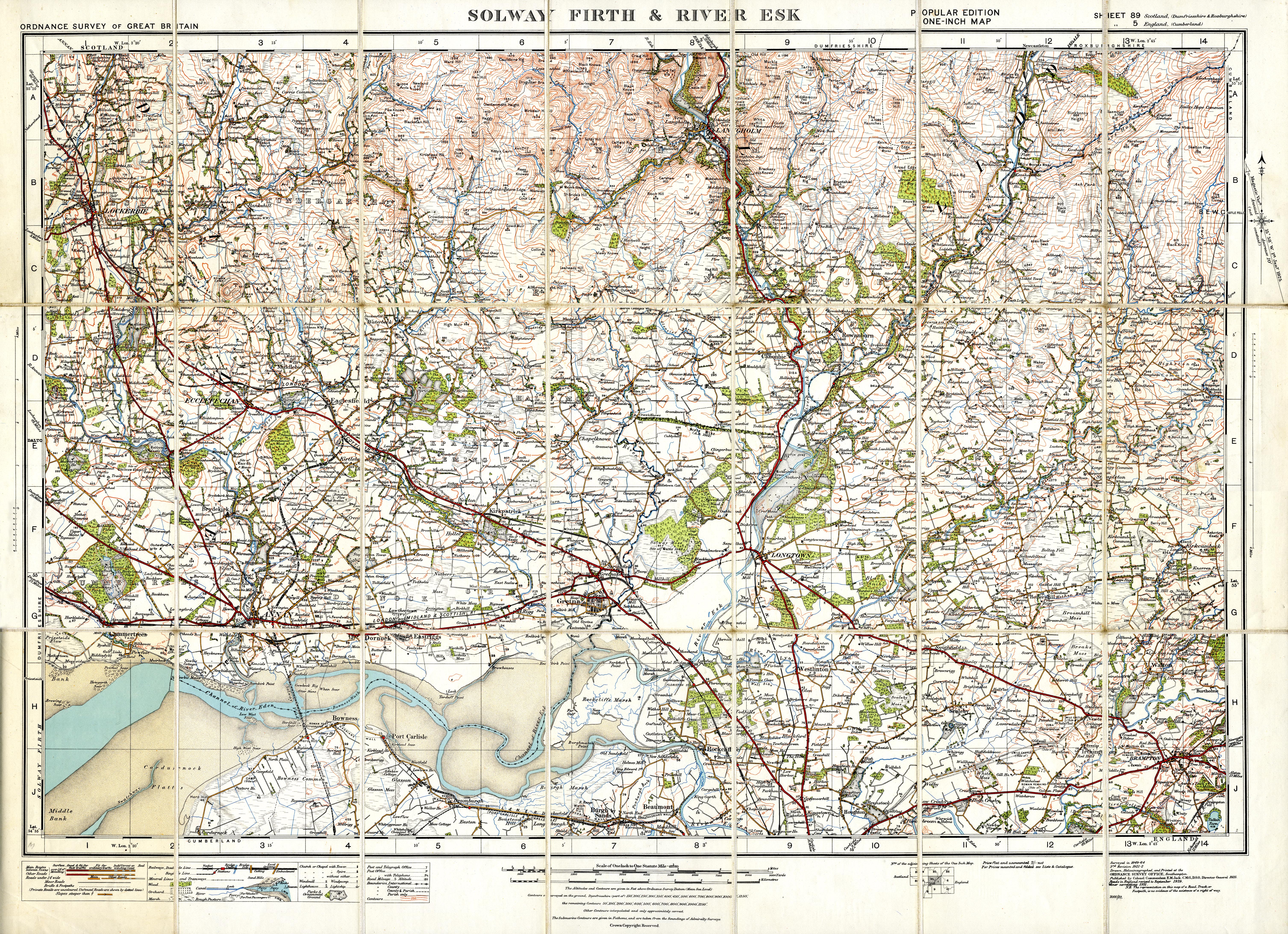
Map, colour printed, Solway Firth and River Esk, scale 1 inch to
1 mile, Popular Edition sheet 5, published by the Ordnance
Survey, Southampton, Hampshire, 1919-26, revised to 1931.
 Lakes Guides menu.