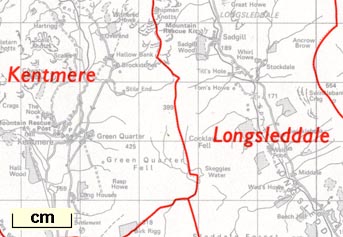
Maps, Administrative Areas Diagram, Cumbria, north and south sheets, scale about 1.5 miles to 1 inch, published by the Ordnance Survey, Southampton, Hampshire, about 1974; published 1974-92? (OS 1974 Admin Areas)
Lakes Guides menu.
 Lakes Guides menu.