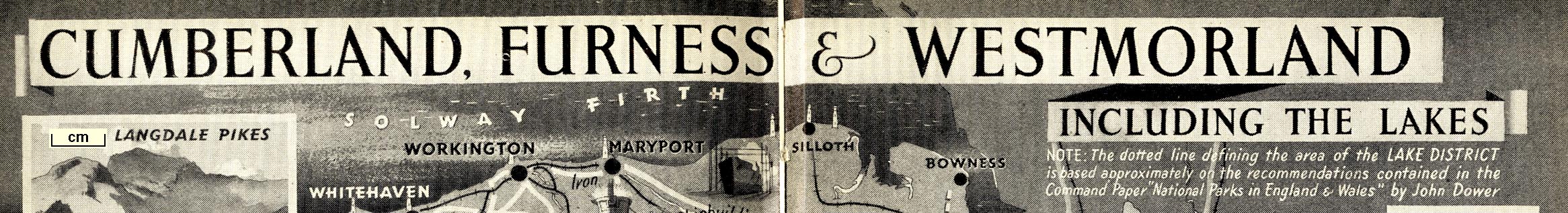
Pictorial map, halftone print, Cumberland, Furness and Westmorland, including The Lakes, scale about 7.5 miles to 1 inch, published by Odhams Press, Long Acre, London, 1948. (Odhams 1948 map)
Lakes Guides menu.
 Lakes Guides menu.