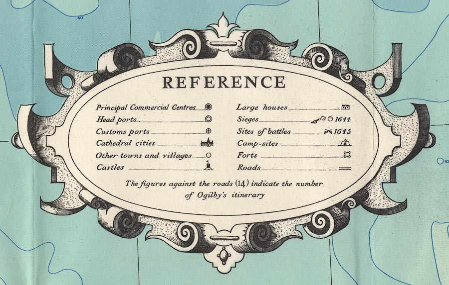
A Map of XVII Century England, including Westmorland,
Cumberland etc, in particular showing the routes mapped by
John Ogilby, 1675, scale about 16 miles to 1 inch, published
by the Ordnance Survey, Southampton, Hampshire, 1930.
(Ogilby 1930)
 Lakes Guides menu.