item:- JandMN : 35
image:- © see bottom of page
 OB12C.jpg
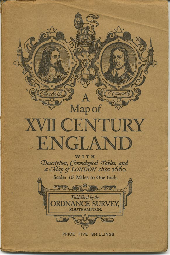
Map, colour printed, A Map of XVII Century England, including
Westmorland, Cumberland etc, in particular showing the routes
mapped by John Ogilby, 1675, scale about 16 miles to 1 inch,
published by the Ordnance Survey, Southampton, Hampshire, 1930.
 Lakes Guides menu.