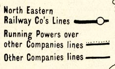
Railway map, Map of the North Eastern Railway and Connections, scale about 15 miles to 1 inch, published by the NER about 1900s? (North Eastern Railway 1900s)
Lakes Guides menu.
 Lakes Guides menu.