item:-
JandMN : 338
image:-
©
see bottom of page
NER2.jpg
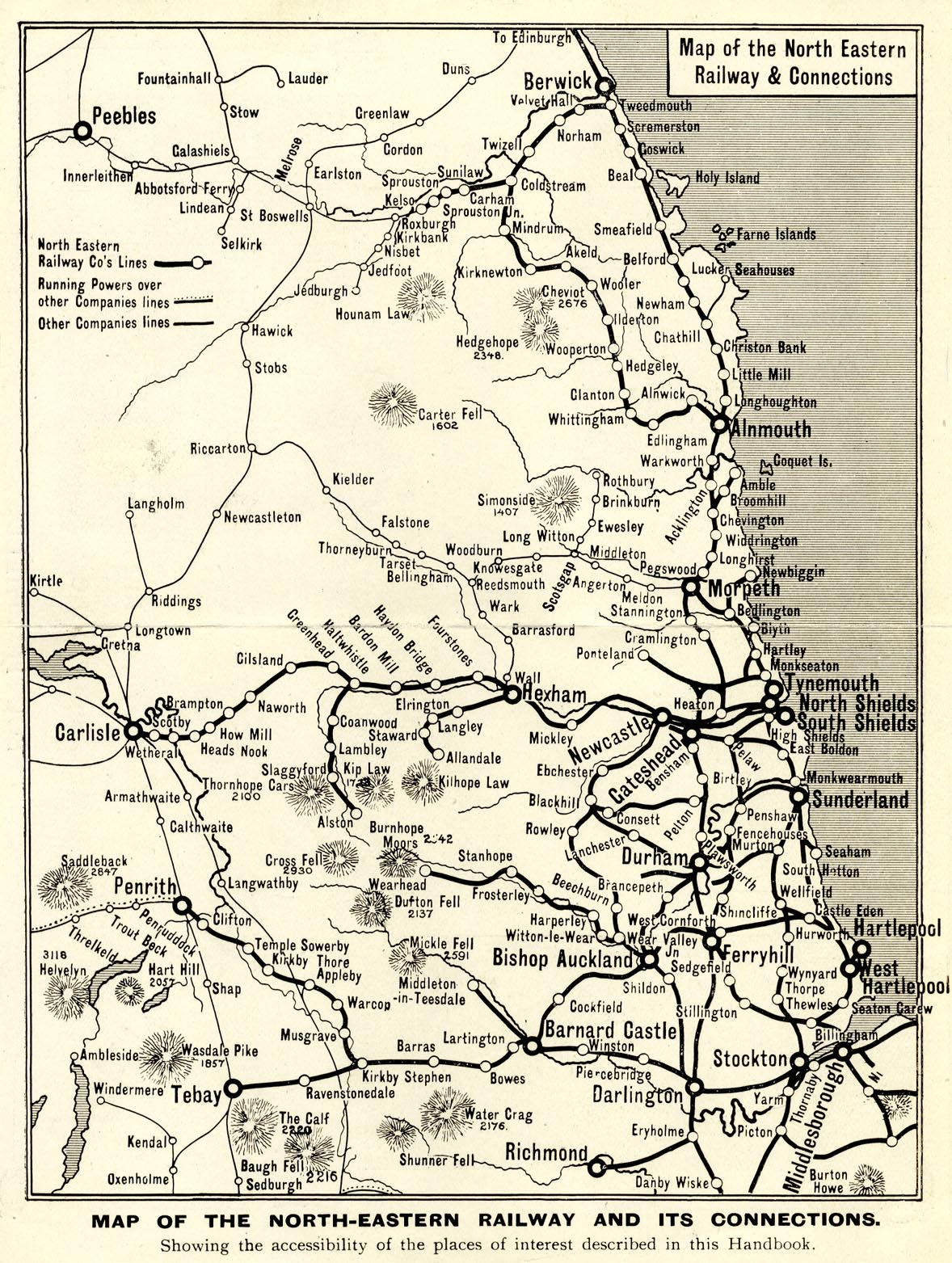
Map, uncoloured lithograph, Map of the North Eastern Railway and Connections, scale about 15 miles to 1 inch, published by the NER about 1900s?
Lakes Guides menu.
 Lakes Guides menu.