item:- JandMN : 50.89
image:- © see bottom of page
 MSM089.jpg
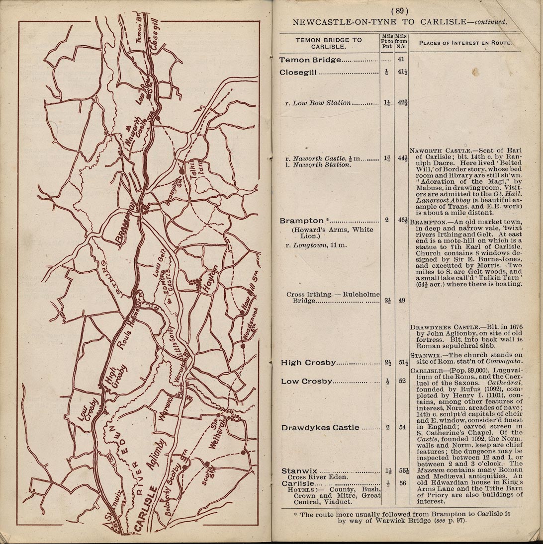
Strip map, road map, part of Newcastle upon Tyne to Carlisle via
the Chesters, scale roughly 2 miles to 1 inch, published by
Mawson, Swan, and Morgan, Newcastle upon Tyne, Tyne and Wear,
late 1890s.
 Lakes Guides menu.