item:- Armitt Library : 2008.14.68
image:- © see bottom of page
 MS12.jpg
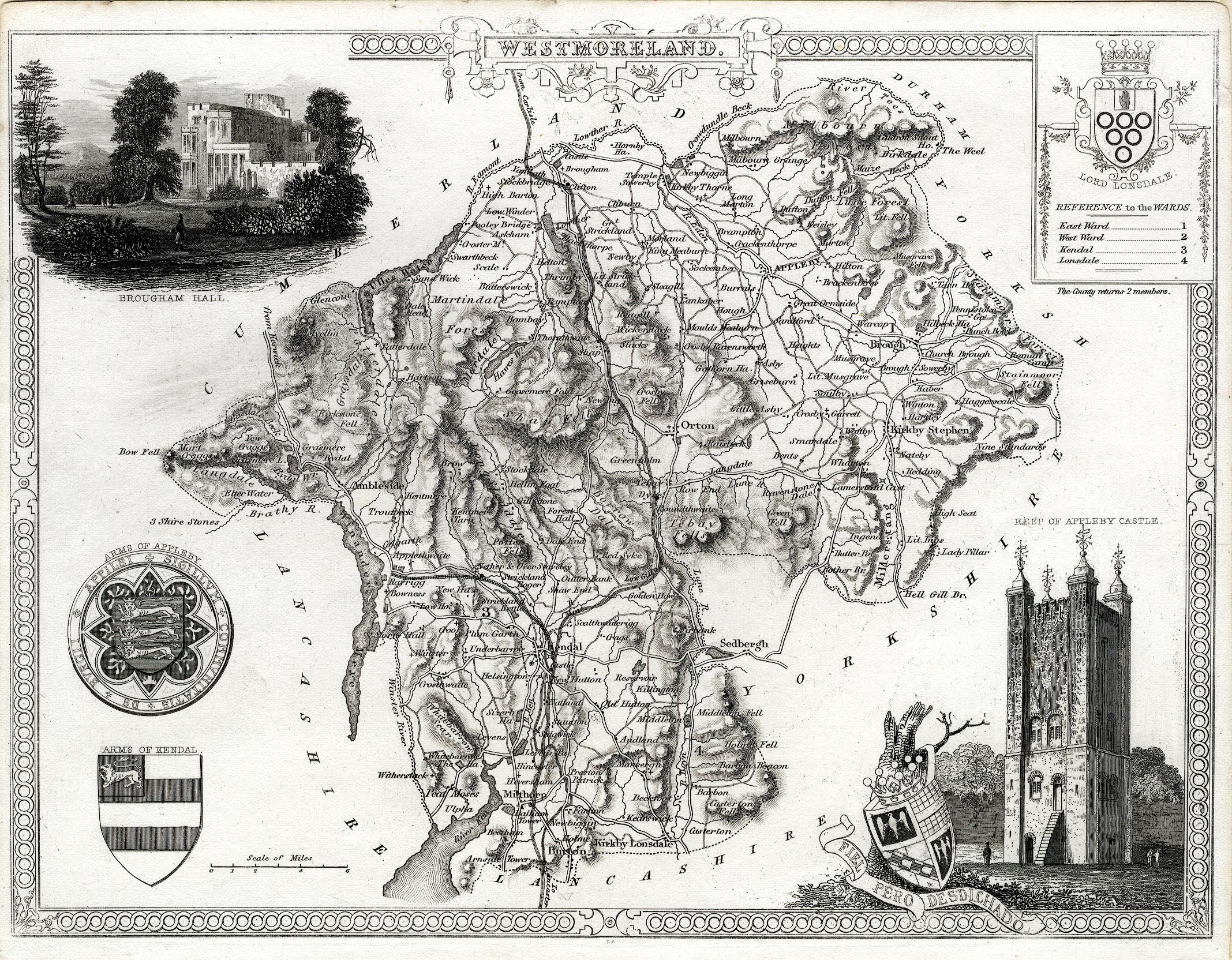
Map, uncoloured engraving, Westmoreland ie Westmorland, scale
about 5 miles to 1 inch, by Thomas Moule, published by George
Virtue, Ivy Lane, Paternoster Row, London, 1836.
 Lakes Guides menu.