item:- JandMN : 192.3
image:- © see bottom of page
 MNU4M3.jpg
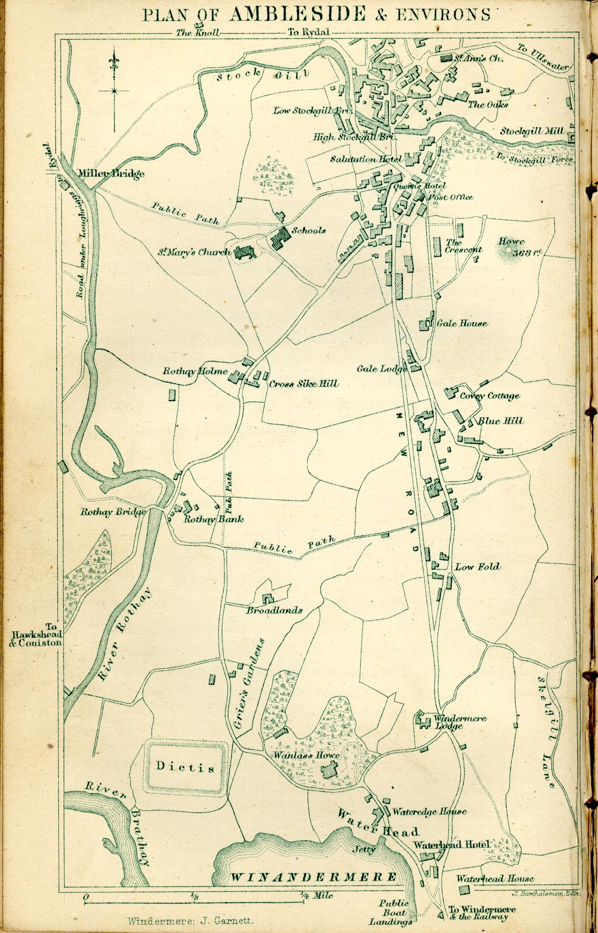
Map, lithograph town plan, Plan of Ambleside and Environs, scale
about 6 inches to 1 mile, engraved by J Bartholomew, published
by John Garnett, Windermere, Westmorland, 1871.
 Lakes Guides menu.