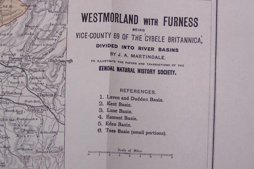
Map, Westmorland with Furness, vice county 69 divided into river basins, scale about 4 miles to 1 inch, by J A Martindale, printed? by J Bartholomew, Edinburgh, about 1888. (Martindale 1888)
Lakes Guides menu.
 Lakes Guides menu.