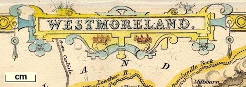
Maps, Westmoreland, scale about 5 miles to 1 inch, and Cumberland, scale about 7.5 miles to 1 inch, by Thomas Moule, published by George Virtue, Ivy Lane, Paternoster Row, London, 1836; published 1836-37. (Moule 1836)
Lakes Guides menu.
 Lakes Guides menu.