item:- Armitt Library : 2008.14.52
image:- © see bottom of page
 MI01.jpg
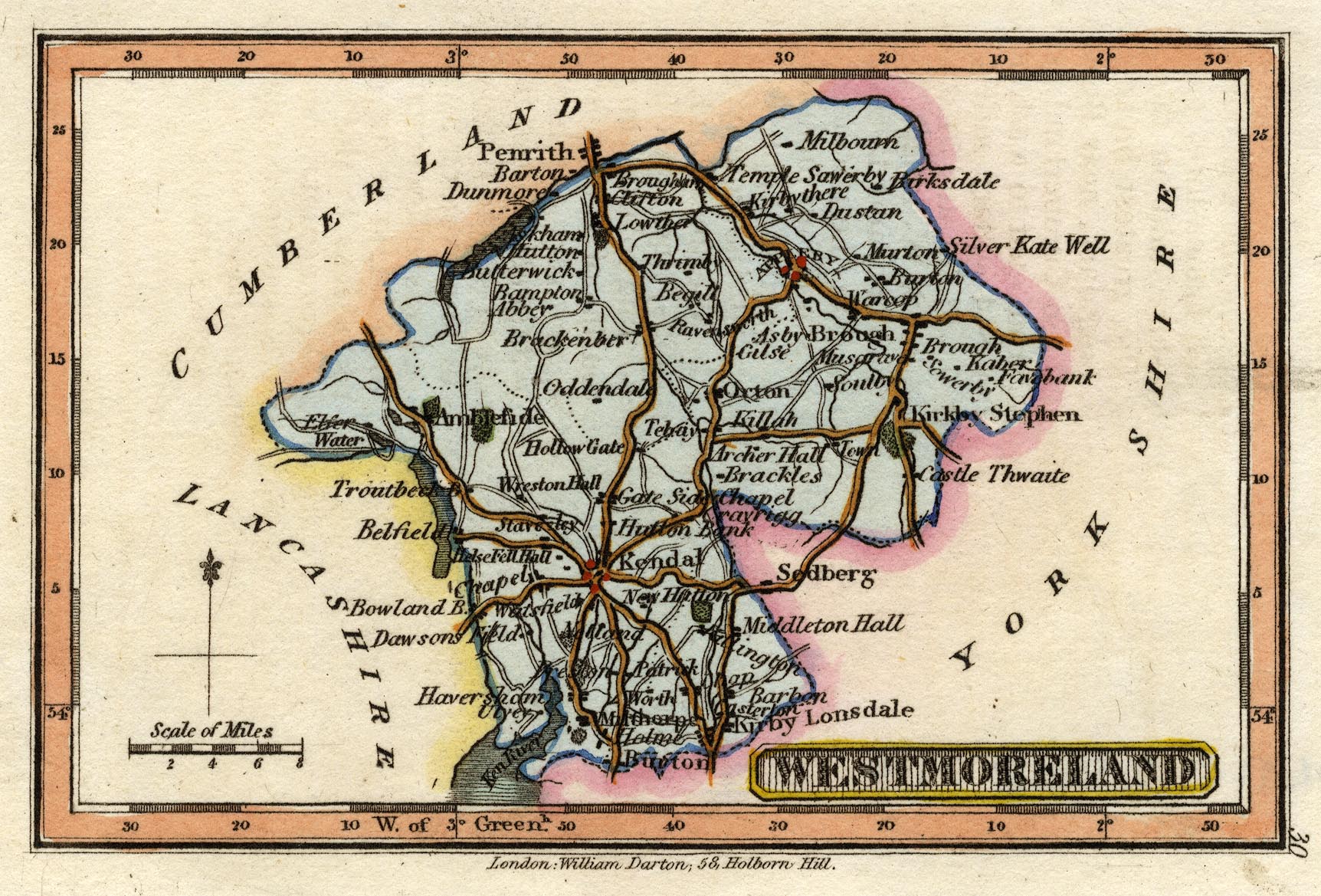
Map, hand coloured engraving, Westmoreland ie Westmorland, scale
about 14 miles to 1 inch, by Robert Miller, 1810, published by
William Darton, 58 Holborn Hill, London, 1820.
 Lakes Guides menu.