item:- Armitt Library : 2008.14.2
image:- © see bottom of page
 MER4.jpg
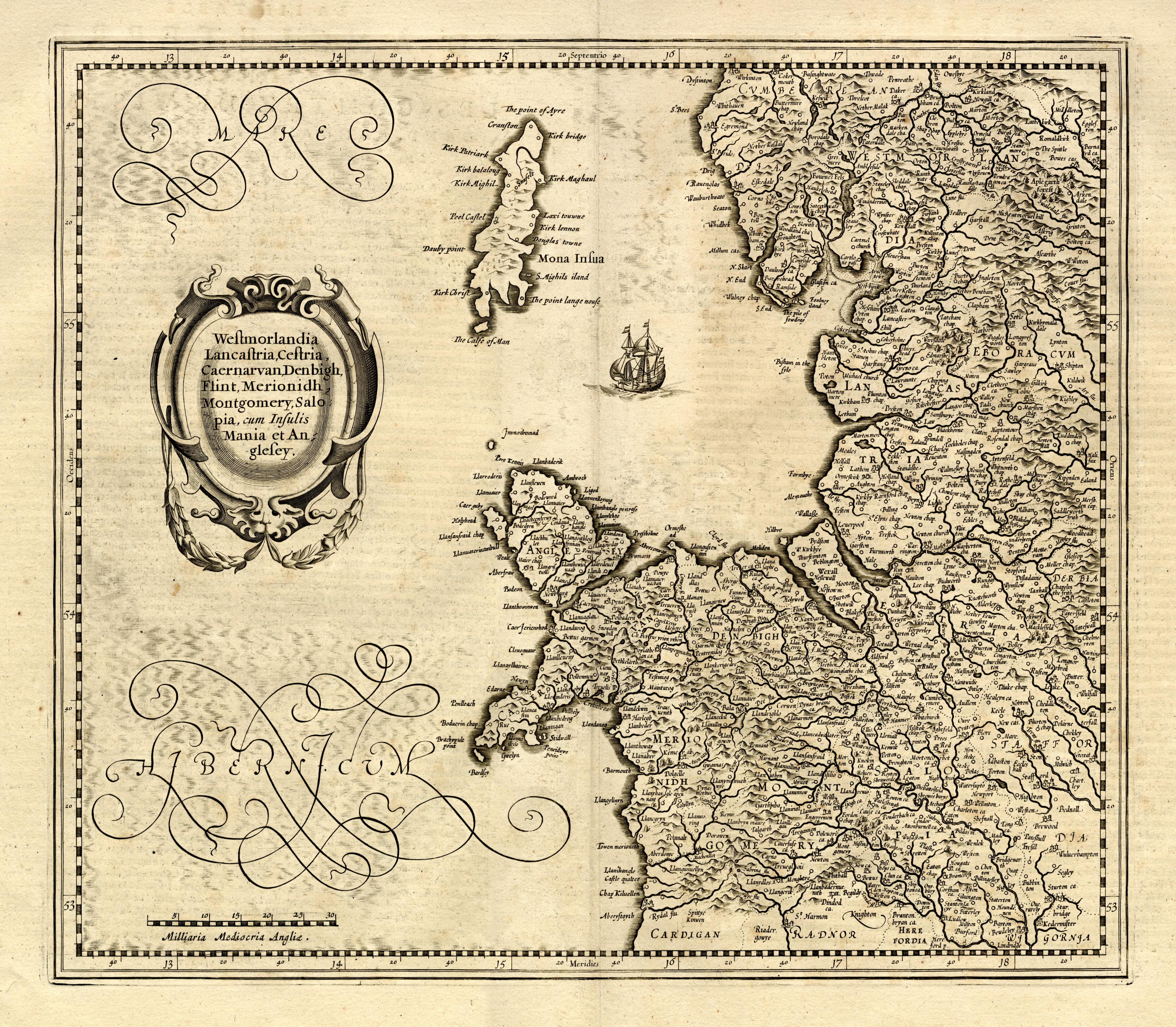
Map, uncoloured engraving, Westmorlandia, Lancastria, Cestria
etc, ie Westmorland, Lancashire, Cheshire etc, scale about 10.5
miles to 1 inch, by Gerard Mercator, Duisberg, Germany, 1595,
edition altered and published by Henry Hondius and John Jansson,
1639-42.
 Lakes Guides menu.