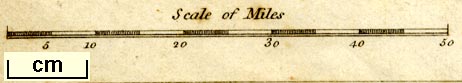
Map, Sketch of the Excursion between London and Inverary, scale about 23 miles to 1 inch, engraved by J Bye, published by Joseph Mawman, Poultry, London, 1805. (Mawman 1805 map)
Lakes Guides menu.
 Lakes Guides menu.