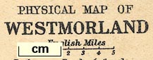
Maps, physical and geological maps of Westmorland,
Cumberland, North Lancashire, scale about 7-10 miles to 1
inch, by George Philip and Son, The London Geographical
Institute, Published by Cambridge University Press,
Cambridge, Cambridgeshire, 1909. (Marr 1909-12 map)
You can open the stratigraphical column in a new
window to use with the map.
You have to close this new window by hand
 stratigraphical column.
Lakes Guides menu.