item:- JandMN : 75.1
image:- © see bottom of page
 MA02.jpg
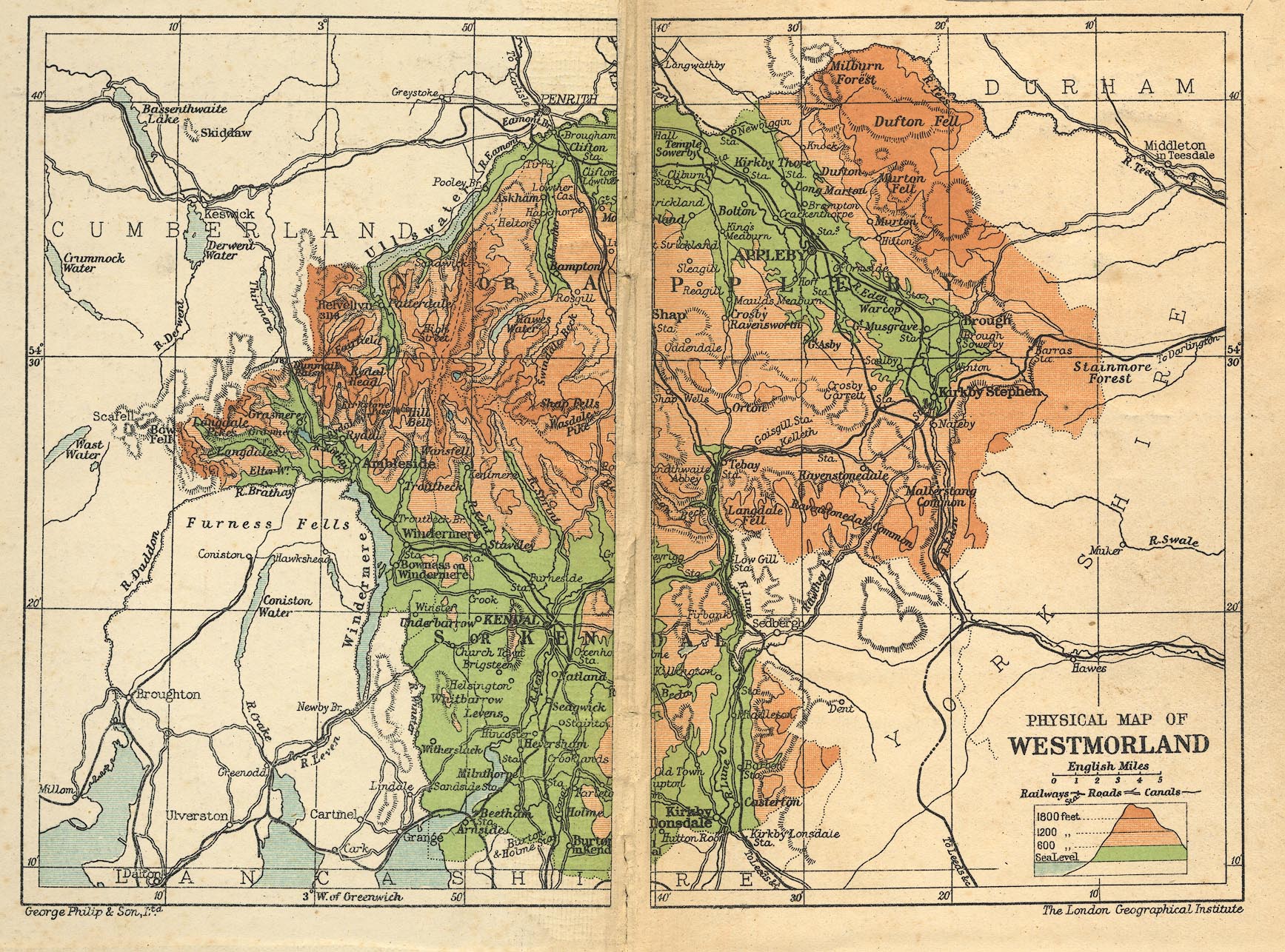
Map, colour lithograph? Physical Map of Westmorland, scale about
7 miles to 1 inch, by George Philip and Son, The London
Geographical Institute, published by Cambridge University Press,
Cambridge, Cambridgeshire, 1909.
 Lakes Guides menu.