 Bartholomew 1900s

|

|
|
|
item:- Armitt Library : A1811 image:- © see bottom of page |
click to enlarge |
|
|
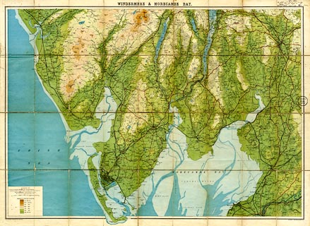
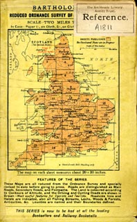
Map, colour lithograph, Travelling Maps series,
Windermere and Morecambe Bay, scale about 1 inch to 1 mile,
by John Bartholomew and Co, Edinburgh, published by W H
Smith and Son, 186 Strand, London, about 1900s.
|
||

|
Bartholomew 1900s | |
| map feature:- | mounted & folded (9x4) & card cover & table of symbols & up is N & scale line & sea tinted & coast line & foreshore sands & rivers & lakes & relief & layer colouring & spot heights & table of heights & settlements & roads & canals & railways | |
| inscription:- |
printed top
WINDERMERE & MORECAMBE BAY |
|
| inscription:- |
printed bottom left, right
THE EDINBURGH GEOGRAPHICAL INSTITUTE / COPYRIGHT - JOHN BARTHOLOMEW & CO. |
|
| inscription:- |
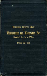
printed cover
gold on dark green |
|
| inscription:- |
printed with scale line
SCALE 1 INCH TO A MILE. |
|
| scale line:- | 3 miles = 75.3 mm | |
| wxh, cover:- | 11x17cm | |
| wxh, sheet:- | 87x63cm | |
| wxh, map:- | 834x590mm (approx) | |
| scale:- | 1 to 64000 ? (1 to 64117 from scale line) | |
|
||
|
||
|
||
|
||