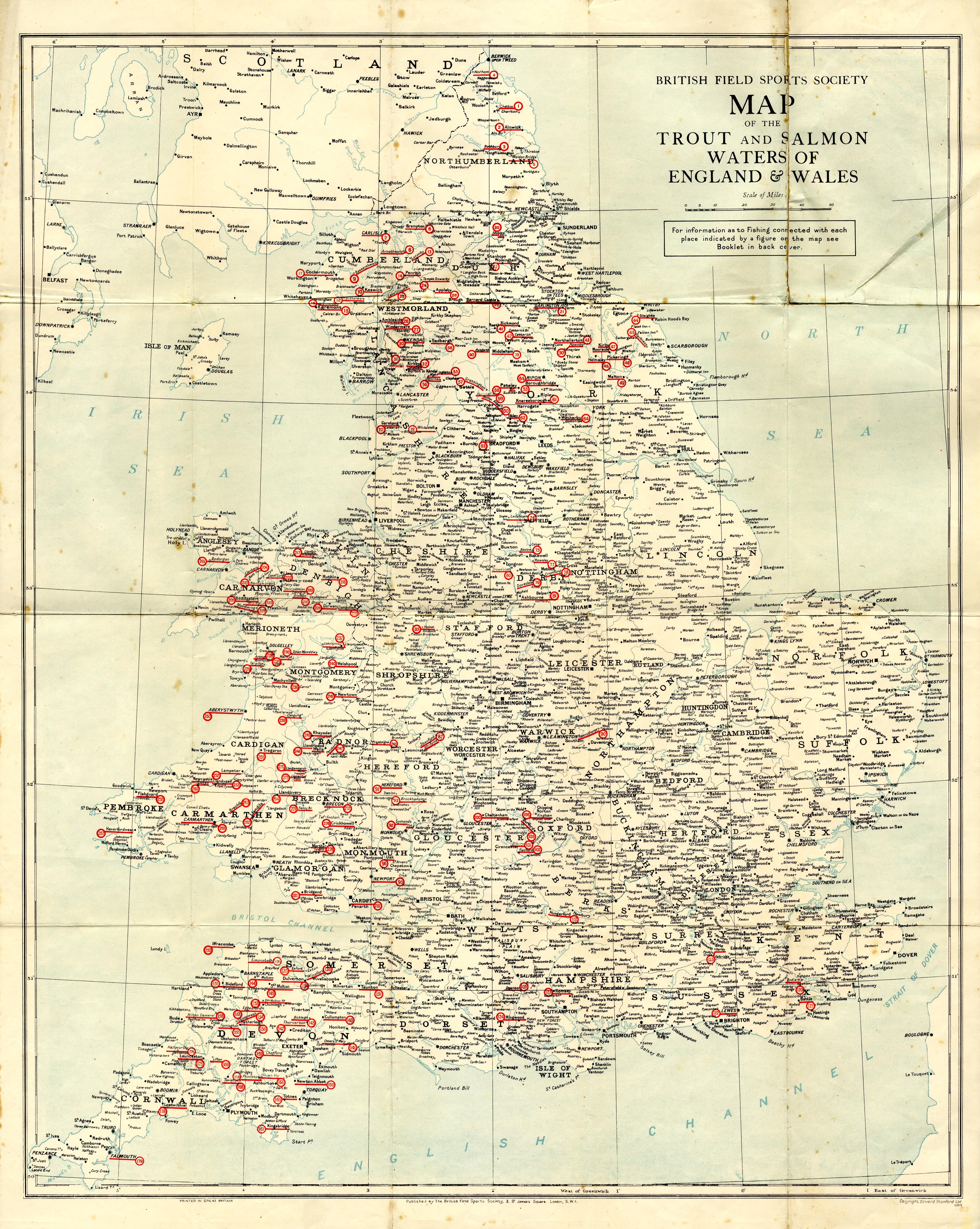
Fishing map, thematic map, colour lithograph, Map of the
Trout and Salmon Waters of England and Wales, acessible to
visitors, scale about 15 miles to 1 inch, by Edward
Standford, 12-14 Long Acre, published by the British Field
Sports Society, 3 St James's Square, London, 1950s? (JandMN
(461))
 Lakes Guides menu.