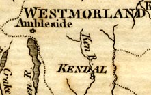
Map, rivers in Cumberland, Westmorland, Lancashire and Cheshire, scale about 23 miles to 1 inch, by Henry Skrine, published by P Elmsly, London, 1st edn 1801. (Skrine 1801)
Lakes Guides menu.
 Lakes Guides menu.