 Chambers 1890s

|

|
|
|
item:- JandMN (425) image:- © see bottom of page |
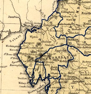
click to enlarge |
|
|
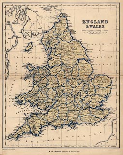
Map, colour lithograph, England and Wales, published by W
and R Chambers, Edinburgh, Lothian, 1890s.
Printed by W H McFarlane, Edinburgh, Lothian, 1890s. |
||

|
Chambers 1890s | |
| inscription:- |
printed title, upper right
ENGLAND / & WALES |
|
| inscription:- |
printed bottom left
Printed in Colour by McFarlane, Edinr. |
|
| inscription:- |
printed bottom
W. & R. CHAMBERS LONDON & EDINBURGH |
|
| inscription:- |
printed below second scale line
English Miles 69 = One Degree |
|
| scale line:- | 69 miles = 41.0 mm | |
| wxh, sheet:- | 25.5x32.5cm | |
| wxh, folded page:- | 16.5x25.5cm | |
| wxh, map:- | 218x271mm | |
| scale:- | 1 to 2700000 ? (1 to 2708408 from 'english' scale line assuming modern mile) | |
|
||