item:-
Kendal Library : Map 155
image:-
©
see bottom of page
M052.jpg
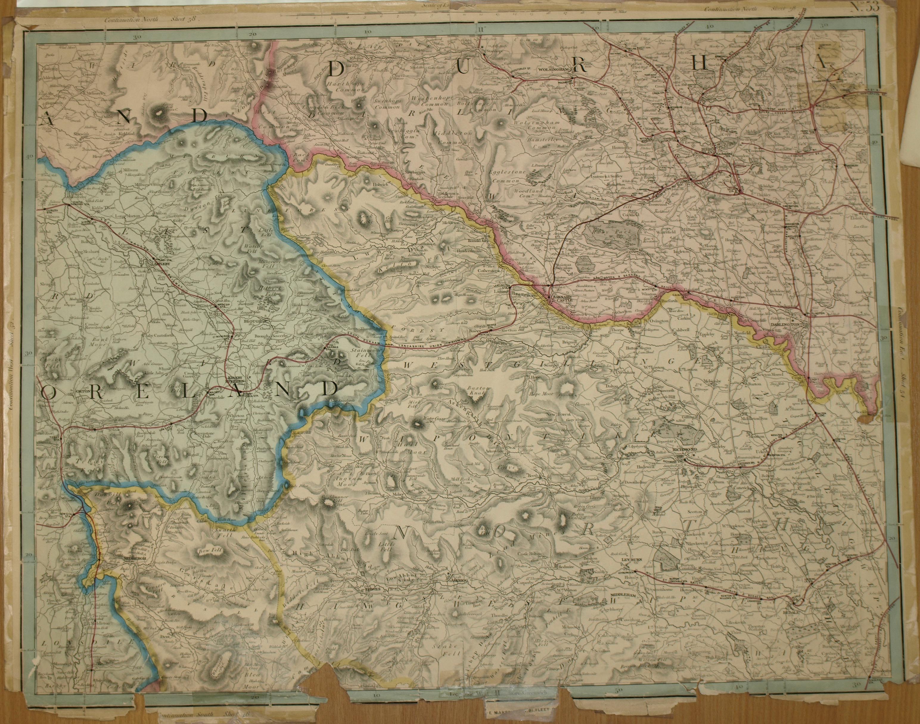
Map, colour lithograph, sheet 53 of a map of England and Wales, scale about 2 miles to 1 inch, published by G F Cruchley, 81 Fleet Street, London, 1858.
Lakes Guides menu.
 Lakes Guides menu.