 Trade Card Maps 1860s-90s

|

|
|
|
item:- Carlisle Library : Map 105 image:- © Carlisle Library |
click to enlarge |
|
|
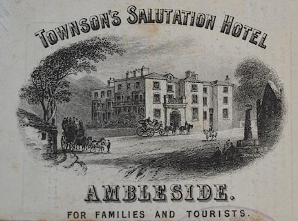
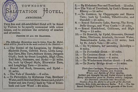
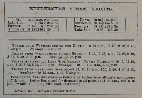
Trade card, folded, uncoloured engraving, advertising
Townson's Salutation Hotel, Ambleside, Westmorland, about
1870s.
The cover has a print of the hotel and a map; the reverse has local itineraries and a timetable for steam yachts. The map includes an area from Keswick to Bowness-on-Windermere, scale about 8 miles to 1 inch; the same map has been found on other trade cards. |
||

|
Trade Card Maps 1860s-90s | |
| inscription:- |
printed print, bottom
TOWNSON'S SALUTAION HOTEL / AMBLESIDE. / FOR FAMILIES AND TOURISTS. |
|
| map feature:- | up is N & rivers & lakes & relief & hill hachuring & parks & county & settlements & roads & railways | |
| wxh, folded:- | 7.5x10cm | |
| wxh, unfolded:- | 22x10cm | |
| wxh, print:- | 9x5cm | |
|
images:- © Carlisle Library |
|
|
|
||