item:- Carlisle Library : Map 321
image:- © Carlisle Library
 M039.jpg
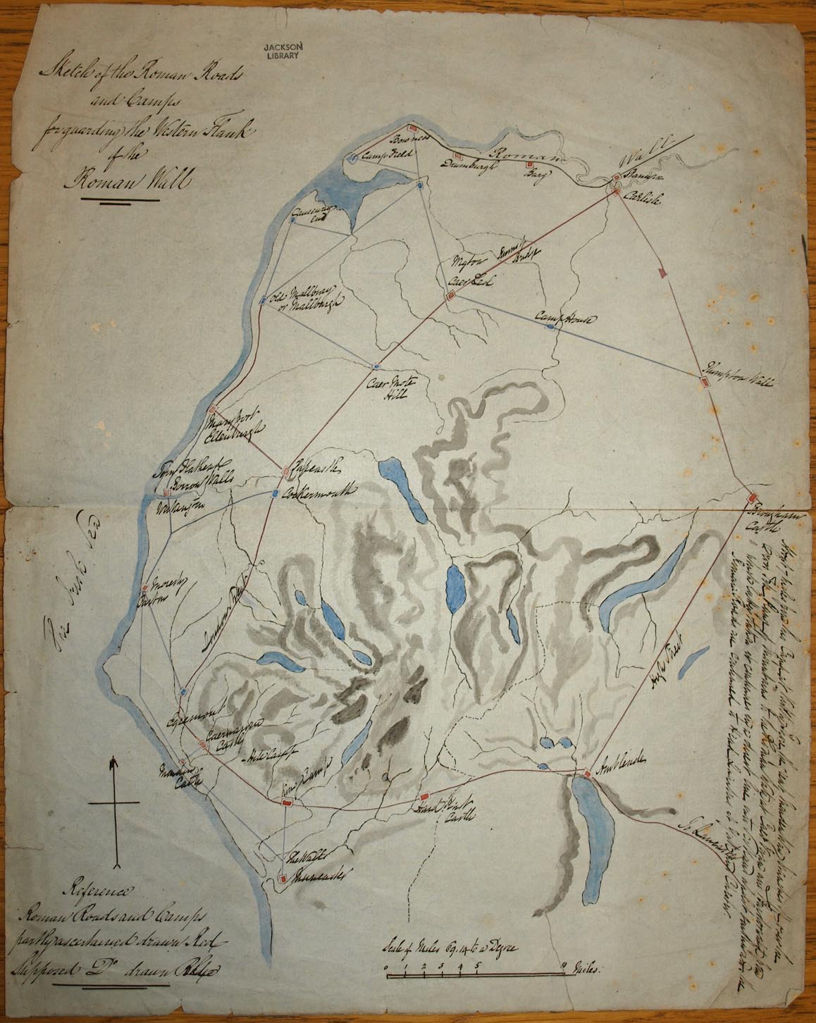
Road map, ms black and colour inks, and ink wash, Sketch of the
Roman Roads and Camps for Guarding the Western Flank of the
Roman Wall, Cumberland, Westmorland, etc, scale about miles to 1
inch, early 20th century?
 Lakes Guides menu.