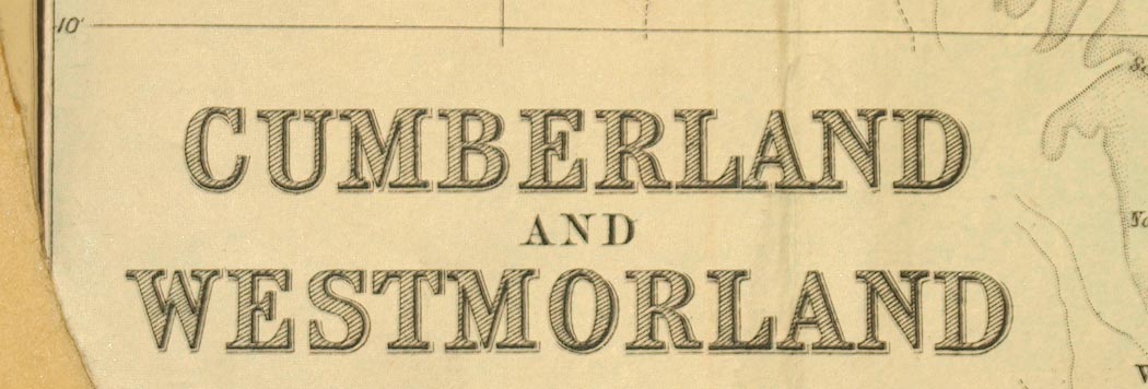
Map, Cumberland and Westmorland, scale about 4 miles to 1 inch, by John Bartholomew and Son, Edinburgh, early 20th century? (Bartholomew 1900s-20s)
Lakes Guides menu.
 Lakes Guides menu.