 Mackenzie 1776

|

|
|
|
item:- Carlisle Library : Map 327 image:- © Carlisle Library |
click to enlarge |
|
|
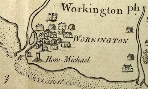
Chart, uncoloured engraving, Solway Firth, Cumberland and
Scotland, scale about 1 inch to 1 mile, by Murdoch Mackenzie
snr, engraved by Thomas Bowen, Fleet Street, published by
Murdoch Mackenzie snr, Kenneth Mackenzie and Murdoch
Mackenzie jnr, London, 1776.
Included in a set of charts with sailing directions, of the West Coast of Great Britain. |
||

|
Mackenzie 1776 | |
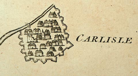
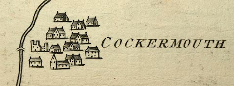
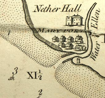
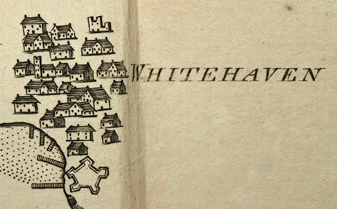
| map feature:- | plain cartouche & compass rose & magnetic deviation (Var. 23 Deg. W. 1760.) & up is E & rhumb lines & scale line & sea plain & depth soundings & sandbanks & tidal streams & anchorages & coast line & coast appearance & coast views & foreshore sands & county & settlements & rivers | |
| inscription:- |
printed plain cartouche, upper right
SOLWAY FIRTH / surveyed and navigated by / M. Mackenzie, Snr. |
|
| inscription:- |
printed lower right
Engraved by Thos. Bowen, Fleet Street. |
|
| inscription:- |
printed upper right
CHART XIV. See Page. 22. |
|
| inscription:- |
printed with scale line
A Scale of 6 English Miles |
|
| scale line:- | 6 miles = 150.0 mm | |
| wxh, sheet:- | 113x106cm | |
| wxh, map:- | 1063x1002mm | |
| scale:- | 1 to 64000 ? (1 to 64374 from scale line, assuming ) | |
|
images:- © Carlisle Library |
|
|
|
||
|
||
|
||