 Unknown 1800s-90s

|

|
|
|
item:- Carlisle Library : Map 53 image:- © Carlisle Library |
click to enlarge | |
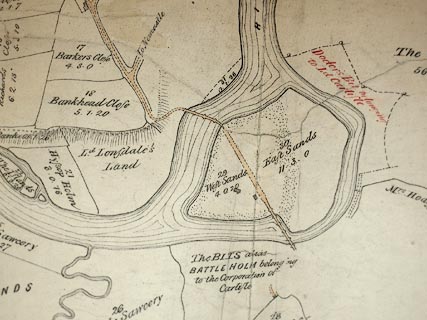
| Illustration of part of map only. | ||
|
Estate plan, manuscript ink on paper, Map of Demesne
Lands within the Soccage of Carlisle Castle, scale about 13
ins to 1 mile, 19th century?
|
||
| map type:- | Unknown 1800s-90s (town-Crls) | |
| map feature:- | up is NE | |
| inscription:- |
ms upper centre
A MAP / of / DEMESNE LANDS / within the SOCCAGE of / CARLISLE CASTLE |
|
| inscription:- |
ms with scale line
Scale of Cahins. |
|
| scale line:- | 40 chains = 168.1 mm | |
| wxh, map:- | 69x485.cm | |
| scale:- | 1 to 4800 ? (1 to 4787 from scale line) | |

|
||