 Norgate 2009

|

|
|
|
item:- JandMN : JIG352 image:- © see bottom of page |
click to enlarge | |
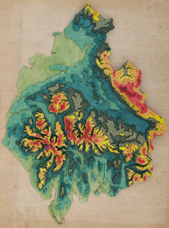
| Jigsaw assembled, 603 pieces in 10 layers. | ||
|
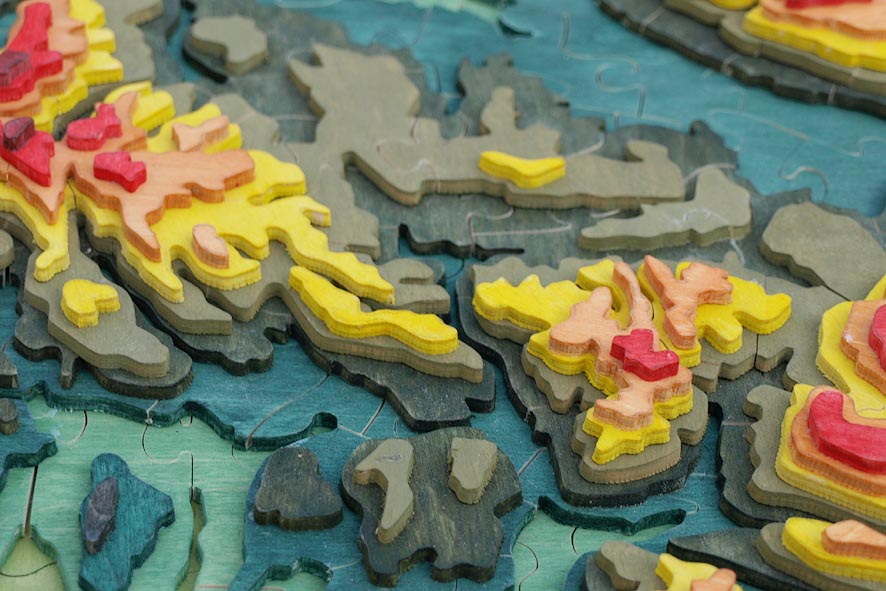
Relief map, plywood jigsaw puzzle, Cumbria Relief Map,
scale about 3 miles to 1 inch, made by Martin Norgate, Low
Sadgill, Longsleddale, Westmorland, 2004.
The relief data comes from NASA, downloaded and unscrambled from its native database by Jean. The layers are at 1, 50, 125, 200, 275, 375, 475, 600, 725 and 850 metres, cut in 3mm ply this is a vertical scale 1 to 28333, vertical exageration 7 times. |
||

|
Norgate 2009 | |
| jigsaw feature:- | hand cut & big piece & 600 piece (603) & mostly interlocking & three dimensional & multilayer & irregular outline | |
| map feature:- | up is N & relief & layer colouring & solid relief & county | |
| wxh:- | 54x72cm | |
| scale:- | 1 to 200000 ? (90Km = 450 mm) | |
|
||
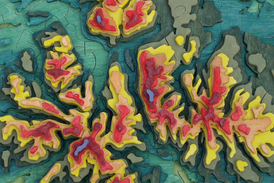
| Central Lakes area, including Scafell Pike, Skiddaw and Helvellyn. | ||
|
||
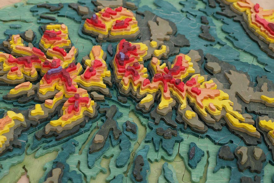
| Oblique view of central Lakes area, from south. | ||
|
||
| View through Dunmail Raise from the south. | ||
|
||
| View of the Lune Gorge and Shap, from the south. | ||
|
||
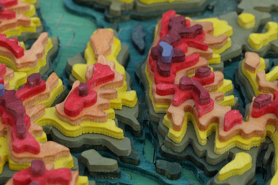
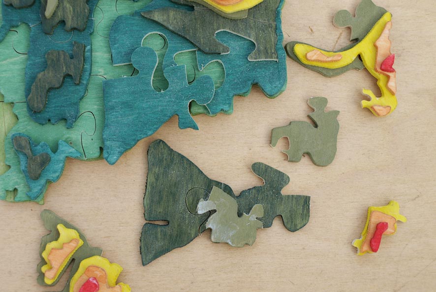
| Jigsaw pieces. | ||
|
||
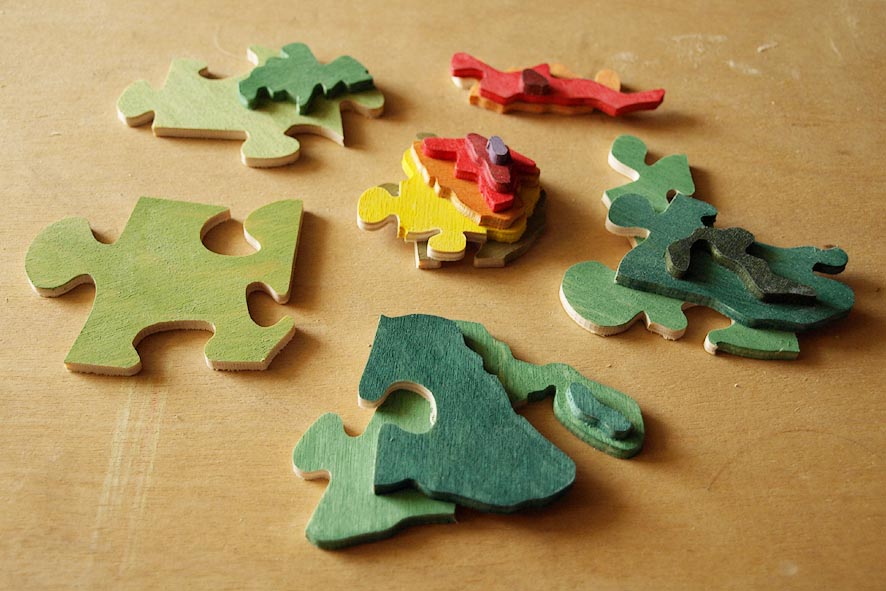
| Jigsaw pieces. | ||