
Dove Cottage : 2007.38.18
image:-
© see bottom of page

click to enlarge
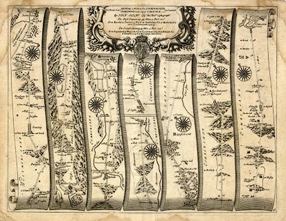
Includes from Kendal through Stanley ie Staveley, Ambleside, Westmorland; then Keswick to Cockermouth, Cumberland; AND from Egremond ie Egremont through Cockermouth to Carlisle, Cumberland.
Plate 96 in Britannia.

The Roads from KENDAL in Westmerld. to COCKERMOUTH / EGREMOND to the City of CARLISLE in Cumberld. By JOHN OGILBY his Maties. Coemographr. The First Containing 43. Miles 7. Furl : ... The Second Containing 39. Miles 4. Furl. ...
table of distances; coat of arms
 Ogilby 1675