button to main menu Bartholomew 1880s

item:-
JandMN (59_1)
image:-
©  see bottom of page
image, button to large image
click to enlarge


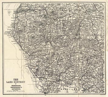
Map, engraving, The Lake District of Cumberland, Westmorland and Lancashire, scale about 4 miles to 1 inch, by John Bartholomew and Co, Edinburgh, Lothian, Scotland, about 1880s?
Tipped into a guidebook, facing page 1, Black's Guide to The Lakes, published by Adam and Charles Black, Edinburgh, Lothian, 16th edn 1884
   Bartholomew 1880s
map feature:- up is N & scale line & sea plain & depth contours & coast line & rivers & lakes & relief & hill hachuring & county & settlements & roads & railways & canals
inscription:- printed lower left
THE / LAKE DISTRICT / OF / CUMBERLAND, / WESTMORLAND & / LANCASHIRE.
inscription:- printed bottom right
J. Bartholomew. Edinr.
scale line:- 8 miles = 48.7 mm
scale:- 1 to 260000 ? (1 to 264369 from scale line)
wxh, map:- 292x269mm