 Bartholomew 1880s

|

|
|
|
item:- JandMN (58_1) image:- © see bottom of page |
click to enlarge |
|
|
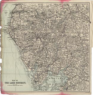
Map, engraving, Map of The Lake District, in Cumberland,
Westmorland, and Lancashire, scale about 4 miles to 1 inch,
by John Bartholomew and Co, Edinburgh, Lothian, Scotland,
about 1880s?
Tipped into a guidebook, facing the title page, The English Lakes District, published by George Philip and Son, London, Philip, Son and Nephew, Liverpool, Lancashire, and Titus Wilson, Kendal, Westmorland, about 1895. |
||

|
Bartholomew 1880s | |
| map feature:- | up is N & scale line & sea tinted & coast line & rivers & lakes & relief & hill hachuring & county & settlements & roads & railways & canals | |
| inscription:- |
printed lower left
MAP OF / THE LAKE DISTRICT. |
|
| inscription:- |
printed bottom right
J. Bartholomew. Edinr. |
|
| scale line:- | 8 miles = 48.6 mm | |
| scale:- | 1 to 260000 ? (1 to 264913 from scale line) | |
| wxh, map:- | 307x308mm | |