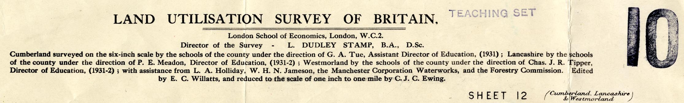
Map series, Land Utilisation Survey series, scale 1 inch to
1 mile, by the Land Utilisation Survey of Britain, directed
by L Dudley Stamp, London School of Economics, published by
the Ordnance Survey, Southampton, Hampshire, 1932-35. (Land
Utilisation Survey 1932-35)
 Lakes Guides menu.