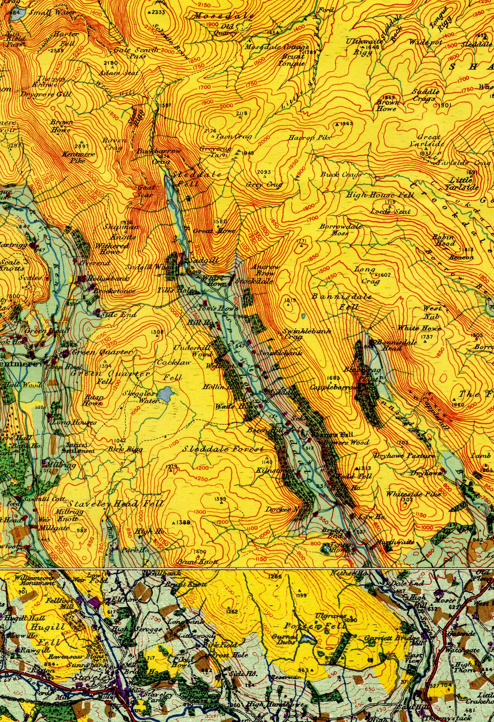
Map, colour lithograph, sheet 12, Keswick and Ambleside,
scale about 1 inch to 1 mile, surveyed by local schools,
plotted on an OS base map, directed by L Dudley Stamp,
published by the Land Utilisation Survey of Britain, London
School of Economics, London, 1933. (JandMN (345))
 Lakes Guides menu.