item:- JandMN : 212
image:- © see bottom of page
 LS22.jpg
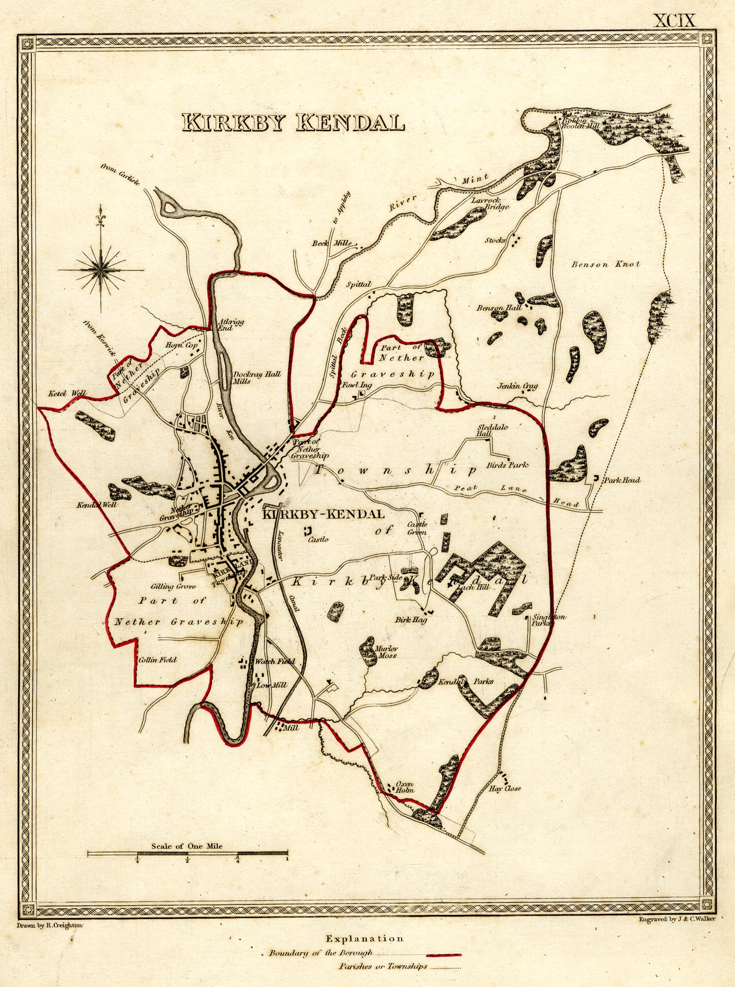
Map, political map, Kirby Kendal, Westmorland, scale about 0.5
miles to 1 inch, drawn by R Creighton, engraved by J and C
Walker, published by S Lewis and Co, 87 Aldersgate Street,
London, 1835.
 Lakes Guides menu.