item:- Armitt Library : 2008.14.83
image:- © see bottom of page
 LNG3.jpg
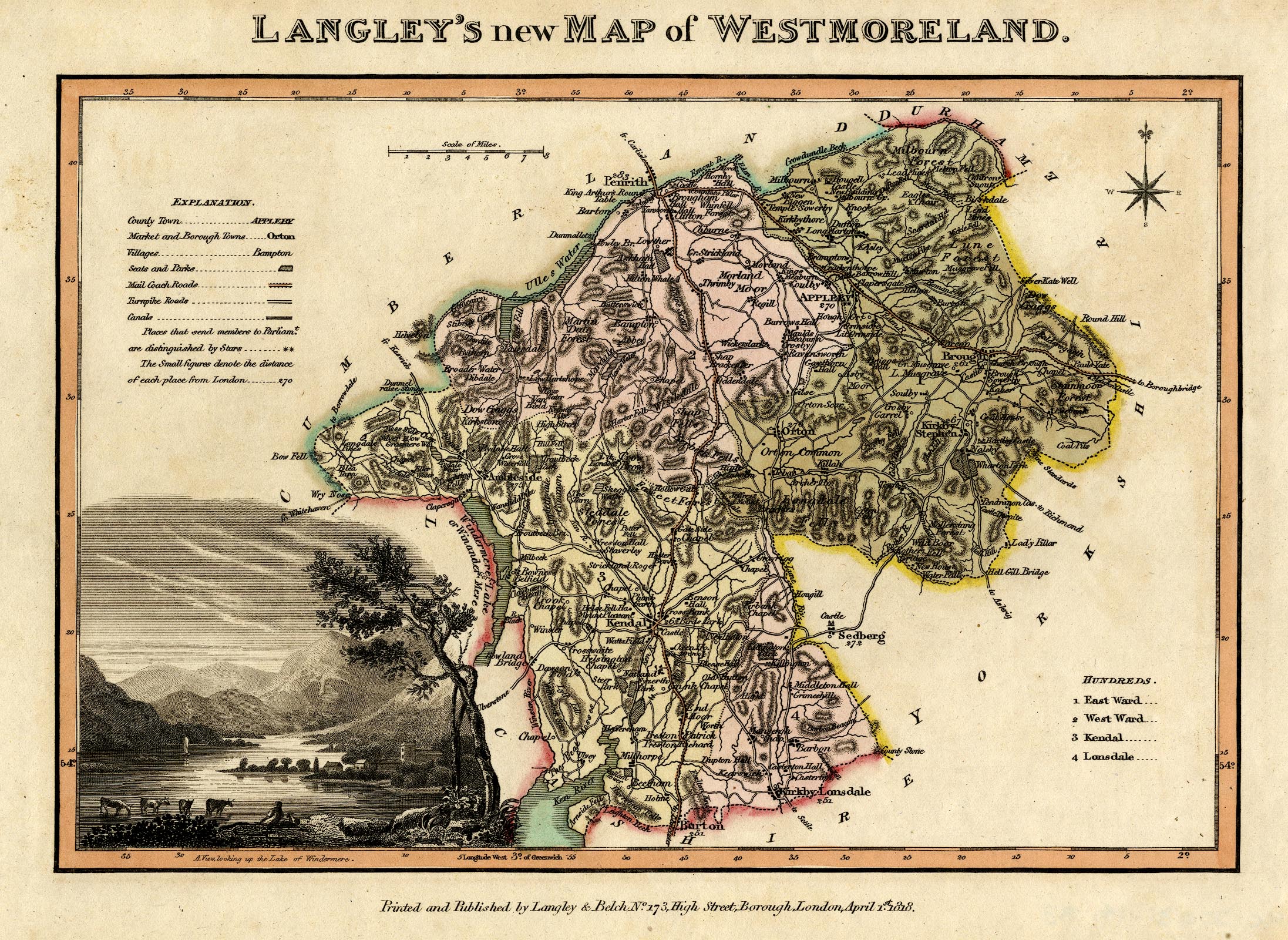
Map, hand coloured engraving, Langley's New Map of Westmoreland
ie Westmorland, scale about 6 miles to 1 inch, by Edward
Langley, published by Langley and Belch, 173 High Street,
Borough, London, 1818.
 Lakes Guides menu.