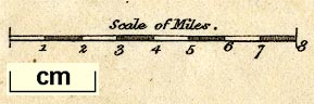
Maps, Langley's New Map of Westmoreland, scale about 6 miles to 1 inch, and Cumberland, scale about 8.5 miles to 1 inch, by Edward Langley, 173 High Street, Borough, London, 1817; published 1818-20. (Langley 1818)
Lakes Guides menu.
 Lakes Guides menu.