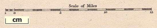
Maps, Westmorland, scale about 6 miles to 1 inch, and
Cumberland, scale about 6.5 miles to 1 inch, drawn by R
Creighton, engraved by John and Charles Walker, published by
Samuel Lewis and Co, 87 Aldersgate Street, London, 1831;
published 1831-49. (Lewis 1831)
 Lakes Guides menu.