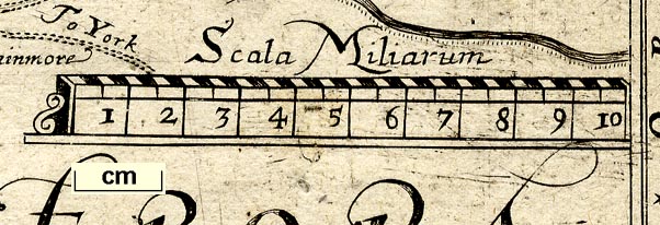
Map, Comberland and Westmorland, scale about 4 miles to 1
inch, altered from the map by Christopher Saxton, 1576,
amended and published by Philip Lea, London, about 1689 and
1693, then Willdey about 1732, Jefferys about 1749, Dicey
about 1772. (Lea 1689)
 Lakes Guides menu.