item:-
Armitt Library : 2008.14.64
image:-
©
see bottom of page
LDG2.jpg
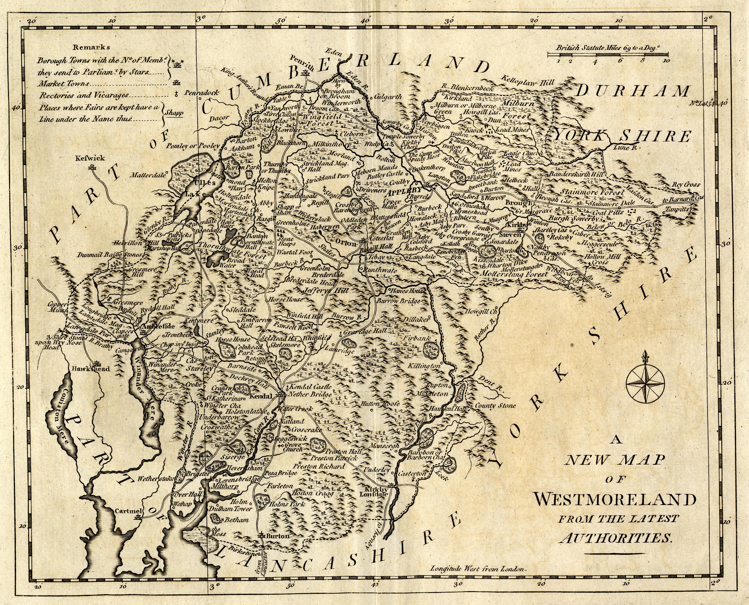
Map, uncoloured engraving, A New Map of Westmoreland, scale about 5 miles to 1 inch, engraved by John Lodge, published by R Butters, Fleet Street, London, 1795.
Lakes Guides menu.
 Lakes Guides menu.