item:- Armitt Library : 2008.14.26.1
image:- © see bottom of page
 KN19.jpg
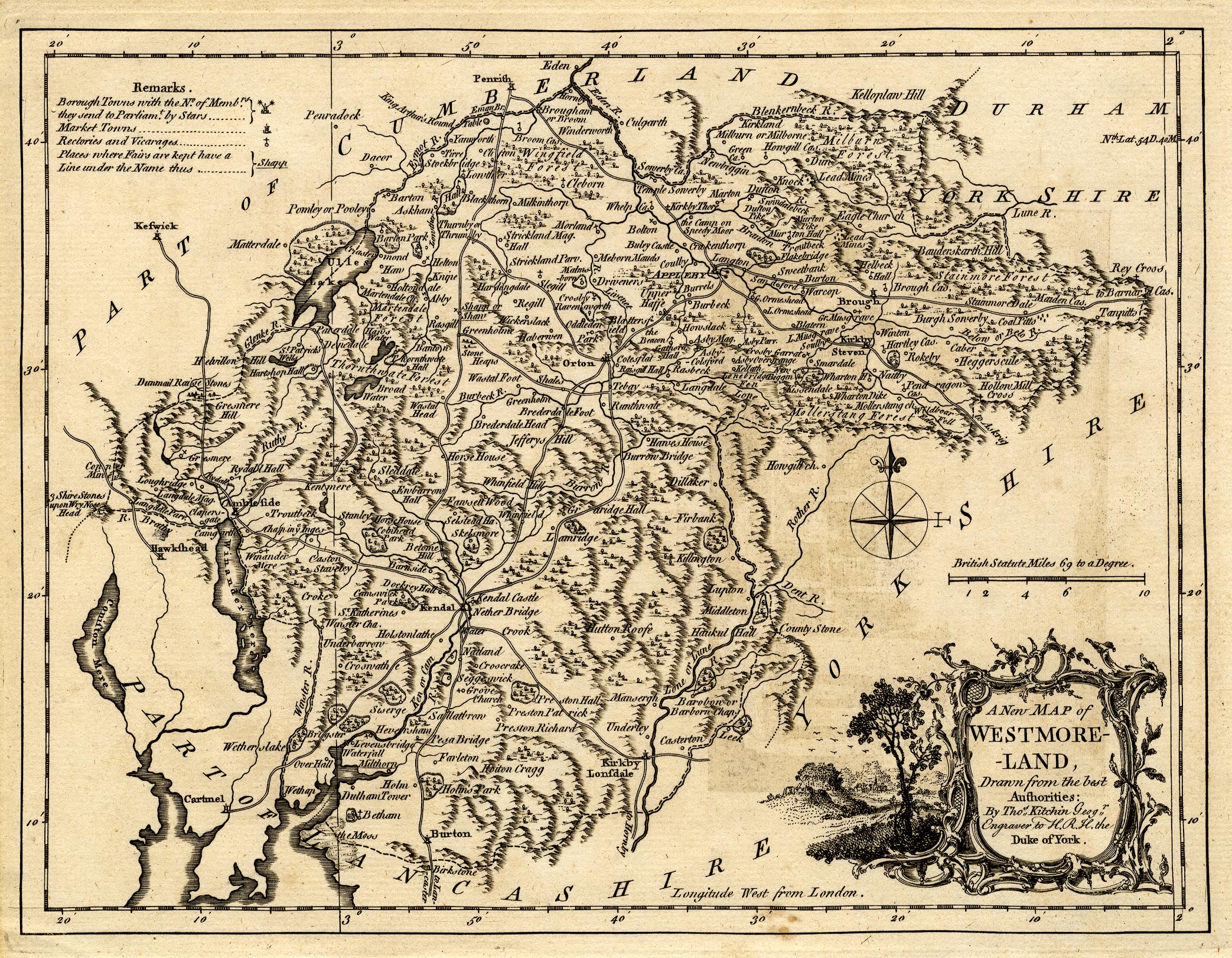
Map, uncoloured engraving, A New Map of Westmoreland ie
Westmorland, scale about 6 miles to 1 inch, by Thomas Kitchin,
1763, published by R and J Dodsley, Pall Mall, London, 1763-64.
 Lakes Guides menu.