item:- Armitt Library : 2008.14.4
image:- © see bottom of page
 KER9.jpg
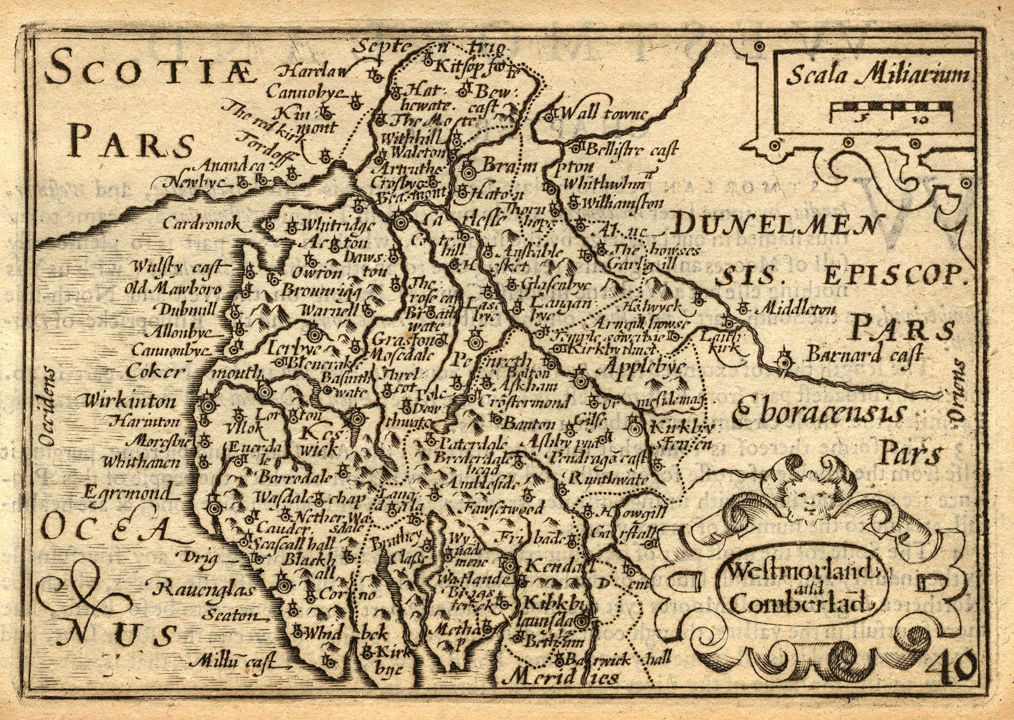
Map, uncoloured engraving, Westmorland and Cumberland, scale
about 16.5 miles to 1 inch, probably by Pieter van den Keere, or
Peter Keer, about 1605 edition 1620?
 Lakes Guides menu.