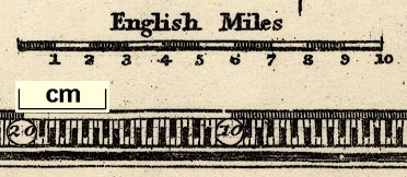
Maps, Westmoreland, scale about 6 miles to 1 inch, and Cumberland? engraved by Lizars, Edinburgh, published by Thomas Johnson, Manchester, 1847. (Johnson 1847)
Lakes Guides menu.
 Lakes Guides menu.