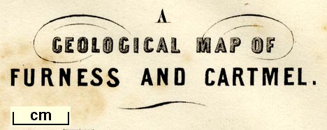
A Map of Furness and Cartmel, Lancashire, and A Geological
Map of Furness and Cartmel, litho by Maclure, Macdonald and
Macgregor, Liverpool, published by Whittaker and Co, Ave
Maria Lane, London and by Stephen Soulby, Ulverston,
Cumberland, 1843. (Jopling 1843 map)
You can open the stratigraphical column in a new
window to use with the map.
You have to close this new window by hand
 stratigraphical column.
Lakes Guides menu.