item:- private collection : 309
image:- © see bottom of page
 JEF7.jpg
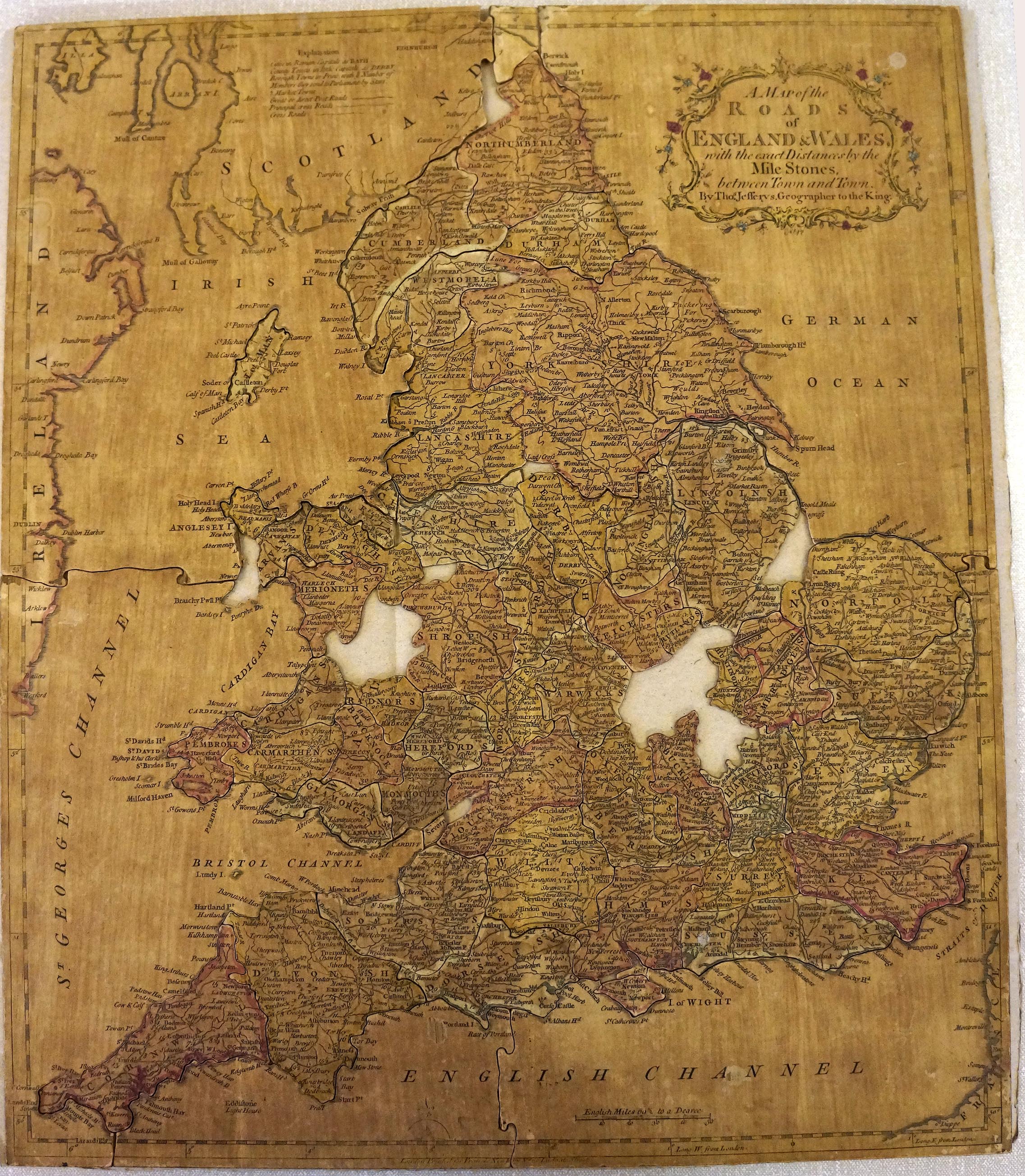
Jigsaw puzzle, map, hand coloured engraving, A Map of the Roads
of England and Wales, scale about 25 miles to 1 inch, by Thomas
Jefferys, published by Francis Newberry, 20 Ludgate Street,
London, late 18th century.
 Lakes Guides menu.