item:- National Library of Scotland : EME.s.47
image:- © National Library of Scotland
 JEF5Kn.jpg
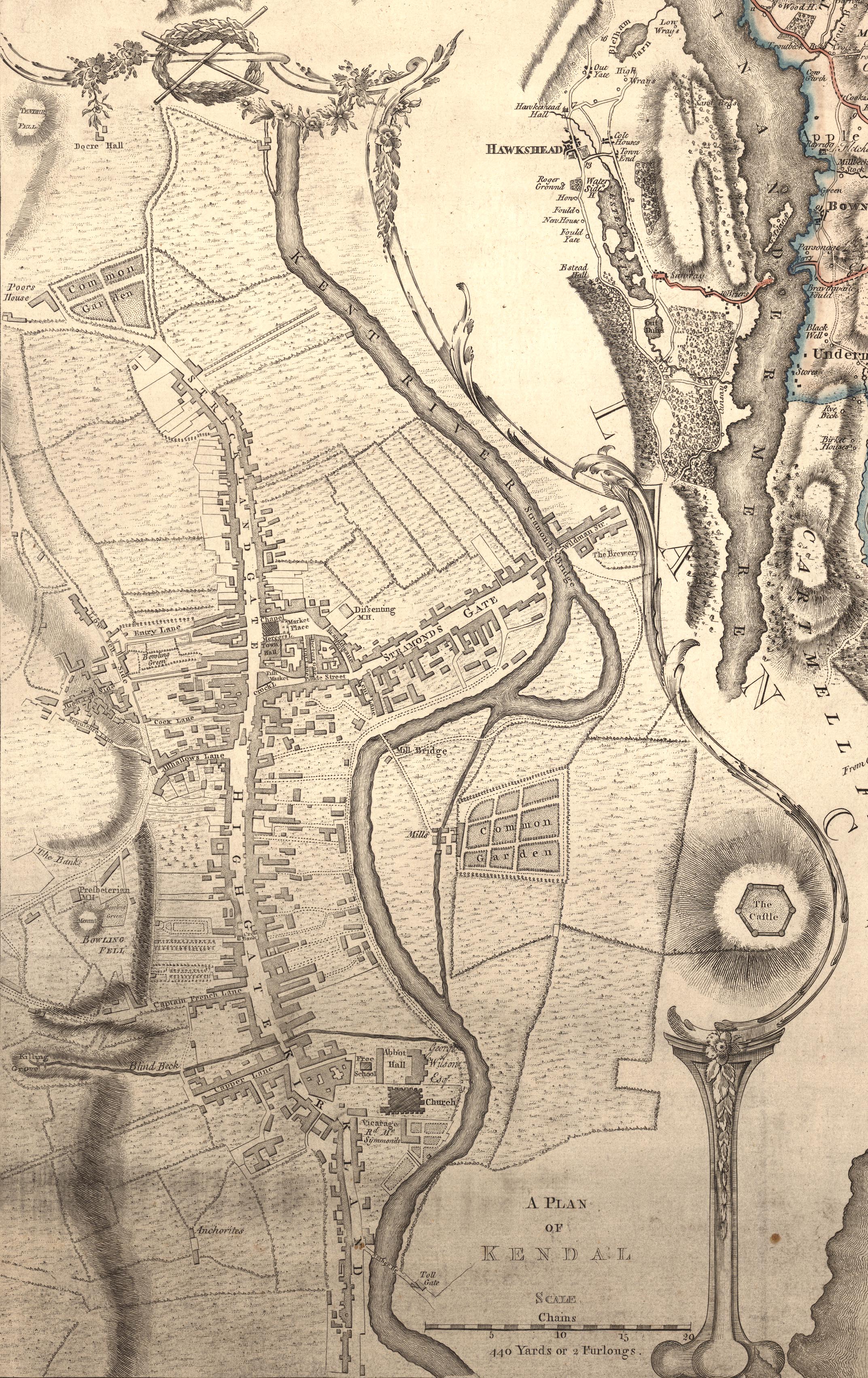
Map, 4 sheets, The County of Westmoreland, scale 1 inch to 1
mile, surveyed 1768, and engraved and published by Thomas
Jefferys, London, 1770.
 Lakes Guides menu.